Texas Waterway Information
Bayous, Canals, Creeks, Lakes, Ponds, Rivers, Streams
Texas has approximately 200 major reservoirs, and while the exact number of smaller lakes and ponds can
vary, the state is known for having a significant number of lakes, both natural and man-made.
Major Reservoirs:196 major reservoirs in Texas. (man made large bodies of water created by dams)
Smaller Lakes and Ponds: In addition to the major reservoirs, there are numerous smaller lakes and ponds,
with some estimates suggesting over 5,000.
Natural Lakes: Caddo Lake is considered to be the only naturally formed lake in the state.
Caddo Lake was created by a logjam on the Red River.
Total Inland Water: Texas is ranked number 1 in the 48 contiguous states, with 5,607 square miles of inland
water.
Streams and Rivers: Texas also has about 191,000 miles of streams, 15 major river basins, and eight coastal
basins.
Recreational Use: These lakes are important for recreation, as well as water supply for various uses, including
irrigation and drinking.
|
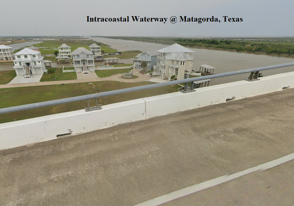
Intracoastal Waterway (ICW) (Also known as the Intracoastal Canal)
Texas is located on the Gulf Coast, and the ICW runs along this coastline,
providing a protected waterway for navigation. The ICW is a protected
waterway that allows small boats to travel along the East and Gulf Coasts
of the U.S. Purpose of the ICW is intended for both commercial shipping
and recreational boating. |
|
|
 |
NOAA's Role: The National Oceanic and Atmospheric Administration (NOAA)
depicts the ICW on its nautical charts as a magenta line, generally following natural
waterways and dredged channels. |
Territorial Sea: is a maritime zone over which the United States exercises sovereignty.
Sovereignty extends to the airspace above and to the seabed below the territorial sea.
The U.S. territorial sea extends 12 nautical miles from the coast. So, International waters
in the Gulf of America (Mexico), begin 12 nautical miles from the low-water mark of the
coastal baseline, beyond which a nation's territorial waters and exclusive economic zone extend.
3 Mile Rule: The "3-mile rule" refers to the traditional maritime boundary defining a country's territorial
waters, extending 3 nautical miles (3.5 statute miles) offshore from its coastline, based on the "cannon shot"
rule.
Texas Parks & Wildlife lists of
Major Waterways in Texas
Texas Rivers, Texas Lakes, Texas Bayous, Texas Canals, Texas Creeks, Texas Ponds, Texas Streams,Texas Intracoastal Canal, Texas Intracoastal Waterway,


